
The Trail Behind The Soccer Fields Just Got A State Magazine Feature
June 18, 2026
June 18, 2026
For years the kiosk past the Brillo Miller Sports Complex looked like the kind of thing a town puts up and then mostly forgets. Parents at the soccer fields walked past it on the way to their cars. Mountain bikers from Knoxville and Crossville quietly added the loops to their weekend rotations. Most everyone else in Rockwood knew the trails were back there somewhere and left it at that.
The State of Tennessee just made that quiet arrangement public. The May/June 2026 issue of The Tennessee Conservationist, the magazine put out by the Tennessee Department of Environment and Conservation, ran a feature on Rockwood Forest Trails written by longtime volunteer Steve Scarborough, who served on TDEC's Conservation Commission from 2004 to 2012 and chaired it from 2009 to 2010. If you live here, the piece is worth reading not because it tells you the trail exists, but because it tells you what you've been walking through.
The bones of the system are simple. The city owns roughly 70 acres of mature hardwood forest along the south edge of the Brillo Miller Sports Complex. For years it sat fenced off and largely unused while residents drove to Oak Ridge or the Cumberlands for hiking and biking. A small group brought a volunteer-built, low-impact concept to Mayor Mike Miller and the city council, and the trails went in.
The Conservationist piece frames the result as a recovery story. The same ridge that once held iron mines now reads as a mixed hardwood ecosystem, and the trail corridor runs past those old workings rather than around them. That distinction matters. Plenty of East Tennessee parks are pleasant green spaces. This one is a working palimpsest, and the article is the first time the layers have been laid out in print.
Here is the detail that should change how residents walk the loop. The trail crosses the original Walton Road, the toll road that connected Southwest Point in Kingston to Sparta and served as Tennessee's first state road to the Cumberland Plateau. The modern alignment of that route is now Highway 70, which is to say, the road you take to get groceries.
The historic Walton Road was the original toll road connecting Southwest Point in Kingston to Sparta. This early state road, now Highway 70, ran directly through what is now known as Rockwood Forest Trails.
Scarborough also names the McLean Mine community of Arbutus, a settlement that grew up around iron extraction on this ground and has since been completely reclaimed by the forest. The buildings were salvaged or rotted. The name came from the fragrant trailing arbutus that still grows there in spring. A ghost town inside the city limits, hidden behind a soccer complex, is the kind of thing a resident can spend a decade not knowing about. It is on a marked trail.
The article reads like a quiet checklist for anyone who wants to walk the trails with eyes open this season. The understory through spring and early summer pulls in:
That last one is the line item residents should sit with. A plant the state has formally flagged as conservation-priority grows on a trail you can reach in a five-minute drive from downtown. Most Tennessee towns of comparable size do not have that on the inventory.
The trails are user-maintained, which is a polite way of saying the people who use them keep them open. If you have walked past the kiosk and wondered who clips the brush back, the answer is the same volunteers who got the system approved in the first place. The city's official page for the trails lists the access point straightforwardly: through the gate by the kiosk, past the soccer fields at the Brillo Miller Sports Complex.
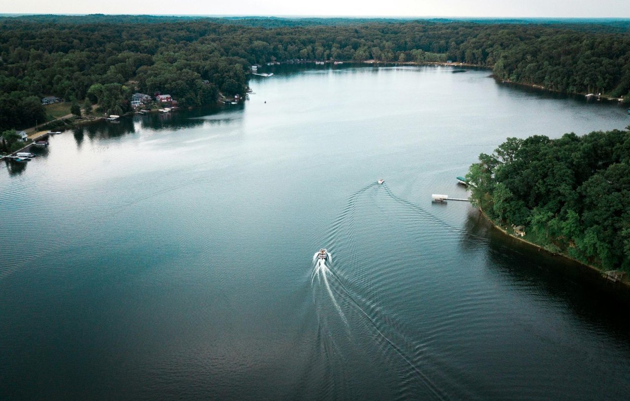
Residents who want the long view alongside the close one can stack the trails with Mt. Roosevelt Scenic Overlook the same morning. The peak sits on Walden Ridge west of town, part of the Cumberland Escarpment, and tops out at 2,036 feet, which puts the overlook more than 1,100 feet above downtown Rockwood. On a clear day the Smoky Mountains are visible more than 70 miles to the east. From the trailhead side of town, the route up runs through I-40 exit 338, south on Westel Road (TN 299) for 2.8 miles, left onto US 70 for 1.2 miles, then a left up Fire Tower Road for the last 1.5 miles.
A few practical notes worth carrying. Parking at the overlook fits about half a dozen vehicles. Picnic tables are available during daylight hours. There are no restrooms. The old fire tower itself is closed to public use and is missing stair treads, so the view stays a ground-level affair. Bring water if you are going up in July or August.
The pairing works because the two stops answer different questions. The forest trails give you the ground, the human history, the species inventory. The overlook gives you the geography that explains why the iron was here in the first place. The Cumberland Escarpment is the reason Roane Iron Company built a town at the base of the ridge, and the reason William O. Rockwood's name ended up on the post office. You can see all of that from the top.
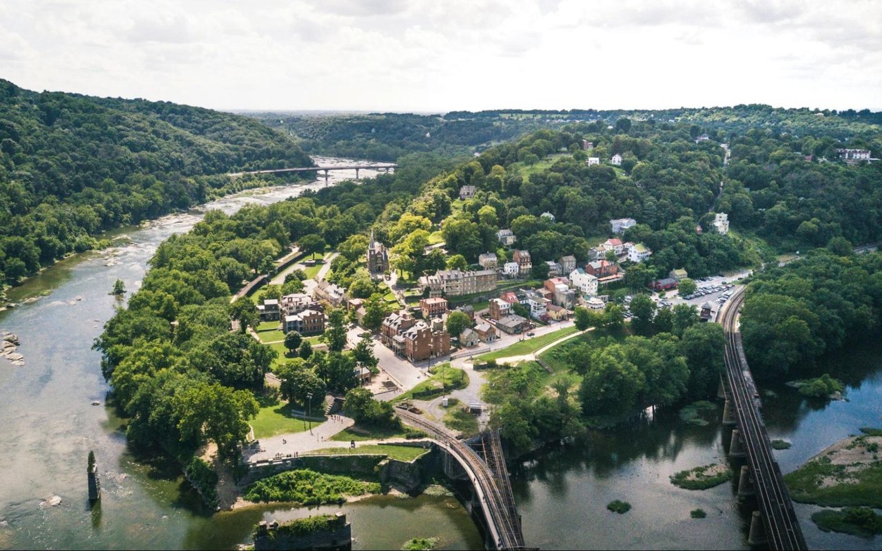
The downtown stretch on Gateway and Rockwood Avenue is the natural finish. MeMe's Restaurant at 123 N Gateway Avenue runs a meat-and-three rotation that locals have been clear about preferring to anything else in walking distance. Denise's Downtown Grub at 124 West Rockwood Avenue handles the breakfast-and-sandwich end of things, open early through midafternoon Tuesday through Saturday. Maple Creek Bistro sits in the same downtown rotation if you want the dinner-leaning option. Three places, three different shifts of the day, all within a few blocks of each other.
That compression is part of what the trail conversation is actually about. Rockwood is small enough that a hike, a view, and a meal can be a single loop without anyone driving more than fifteen minutes between stops.
The Conservationist piece is not a tourism push. It reads like an internal memo to people who already live in Roane County, telling them what they have. The trails were built by neighbors. The history they cross was made by neighbors a hundred and fifty years ago. The plants on the conservation list grow on the same ground the city council voted to open up. The article's quiet argument is that Rockwood has been treating a state-magazine-worthy resource as a side amenity, and it might be time to walk it with the kind of attention the state just gave it.
If you have lived here long enough to remember when the 70 acres were fenced off, the trails are a civic story you helped pay for. If you moved in more recently, they are the easiest way to learn the ground you bought into. Either way the kiosk past the soccer fields is the door.
Mayor Jason Jolly and the council have been steady about pointing residents toward the forest, the overlook, and the downtown blocks that tie them together. The state magazine just made the case for them. The rest is a Saturday morning.
When you are ready to put down deeper roots in Rockwood, or weigh what a move within Roane County looks like, Kathy May-Martin and the team at Coldwell Banker Jim Henry & Associates know this corridor street by street. Schedule Your Consultation to talk through what's possible here.
Stay up to date on the latest real estate trends.
A Buyer's Guide to Watts Bar Lake Lakefront Homes for Sale Near Kingston, Tennessee.

Tennessee Nature Inspired Home Decor Ideas for East Tennessee Lakefront and Mountain Homes.
How to Decide Between Kingston and Knoxville When Buying a Home in the Region.

What Golf Course Living at Tennessee National Really Looks Like for Homeowners in Knoxville.

Lake House Interior Design Ideas for Kingston, Tennessee Homes on the Water.

One way to set the stage for a successful buying and selling process is to listen to May-Martin clients, find out what their priorities are, and then help them prioritize that list based on the state of the market.

410 N Kentucky St
Kingston TN 37763